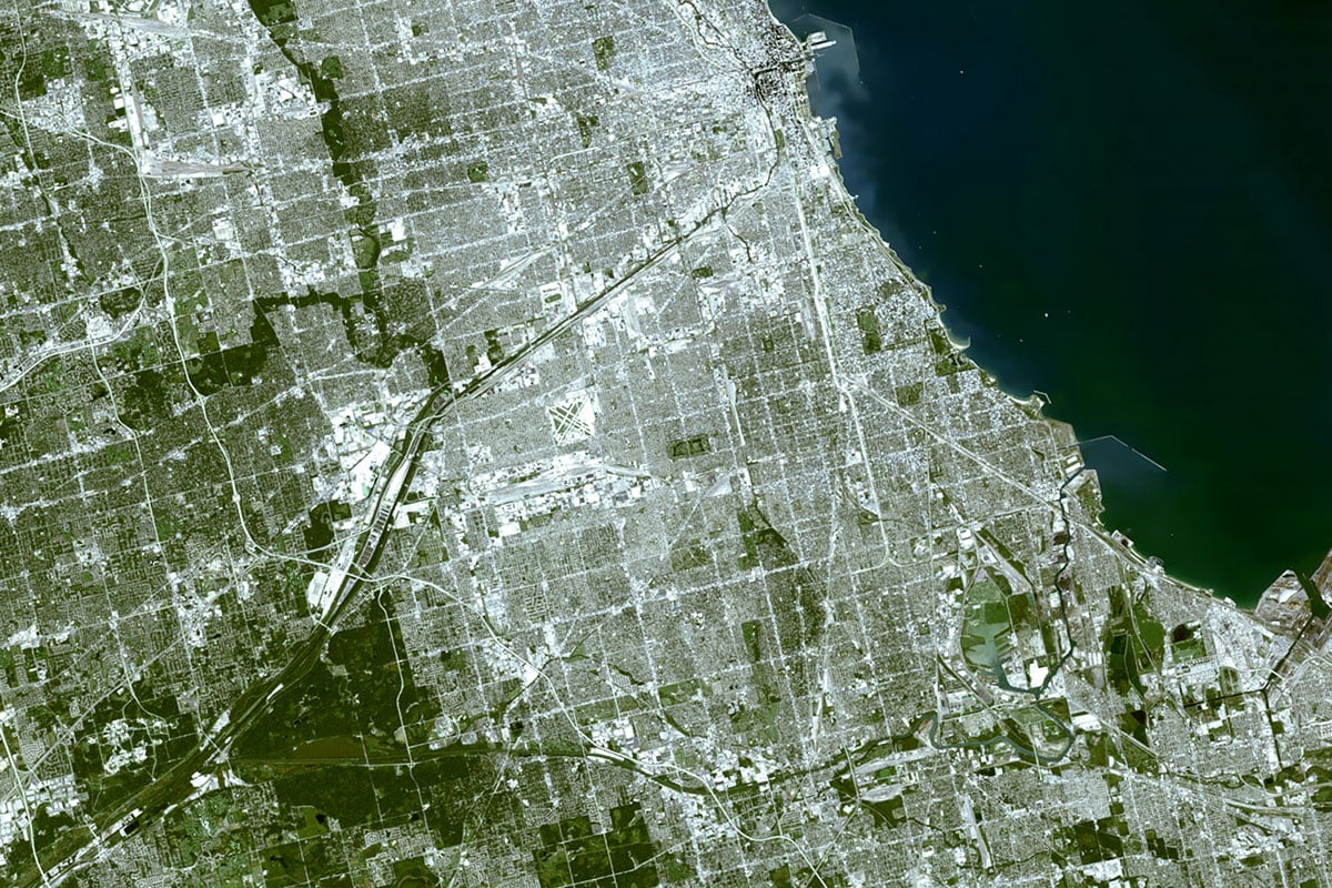
Southeast Side
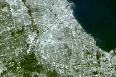
In the Southeast Side neighborhood, you’ll encounter one of the most visually distinct landscapes in all of Chicago. Running along the Indiana state border, and bisected by the Calumet River, the Southeast Side can feel like a world all its own.
Water plays a big role here. In 1921, the Illinois State Legislature passed the Lake Calumet Harbor Act, authorizing the City to build a deep water port at Lake Calumet. It was a step in relieving the city’s lakefront, which was becoming more dedicated to residential and tourism uses, of its commercial cargo duties. Navy Pier officially ceased commercial cargo operations in 1971.
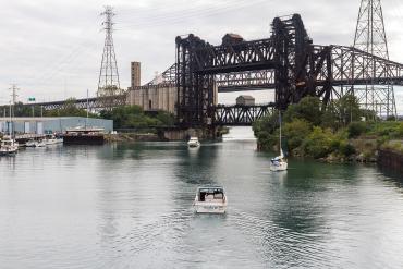
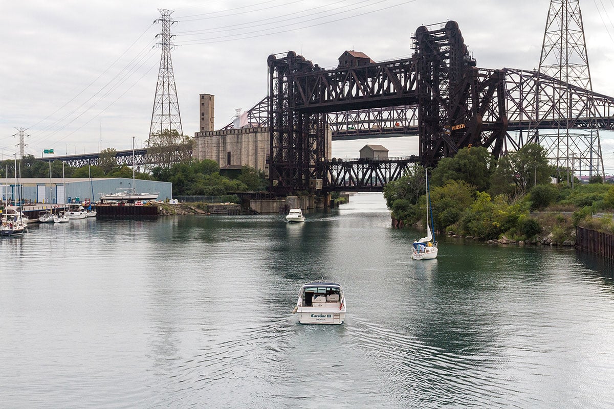
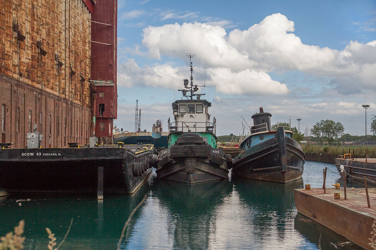
Along the Calumet River, you can watch ships from all over the world as they navigate through the area’s drawbridges, elevator bridges, and turning basin en route to Port of Chicago piers on Lake Calumet. As of 2015, the Port of Chicago handles over 19 million tons of cargo each year – more than any other port on the Great Lakes.
At one time, U.S. Steel employed 40,000 workers in the area; Inland and Republic, among others, also ran big operations nearby. The early 20th century saw growing production here that boomed after World War II. But after boom came bust, and when the U.S. steel industry collapsed in the 1970s and 1980s, layoffs left the neighborhood economically depressed.
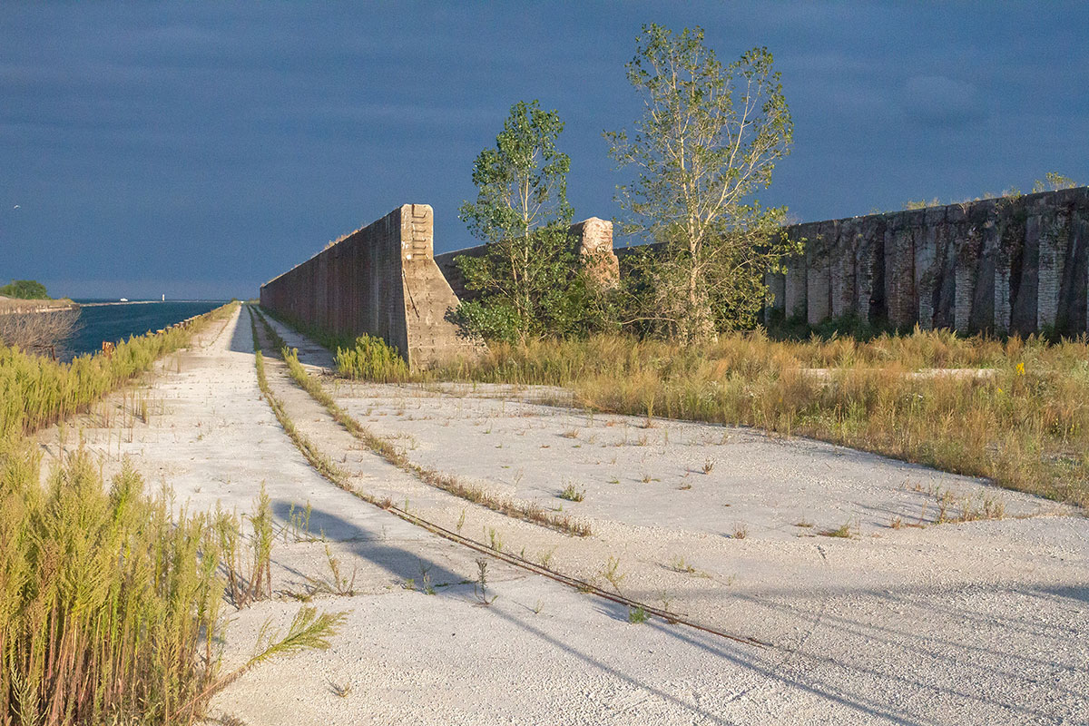
Today, along the Lake Michigan shore, remnants of Chicago’s past as a center of steel production are dramatically evident in the 2,000-foot ore walls left by the old U.S. Steel plant. The former brownfield has been remediated and is awaiting residential development.
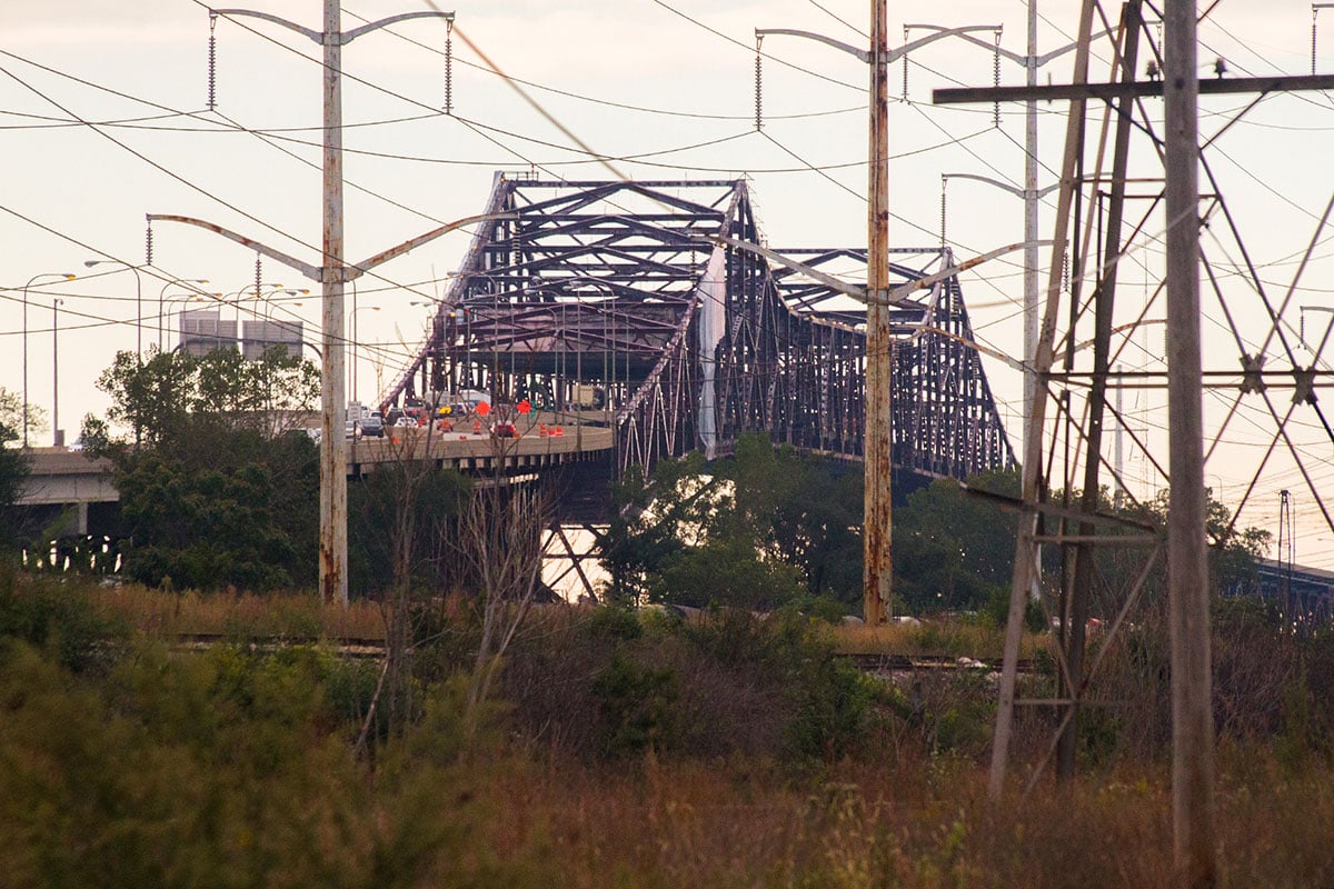
Prominent in the neighborhood’s skyline is the Chicago Skyway, a 7.8-mile toll bridge (designated a “bridge,” rather than a road, because State law at the time did not allow for toll roads). The Skyway connects the Dan Ryan Expressway with the Indiana Toll Road. Where it traverses the Calumet River, the bridge soars 125 feet above ground, avoiding the need for a drawbridge to allow tall ships to pass.

The Chicago Skyway is a 7.8-mile toll bridge that connects the Dan Ryan Expressway and the Indiana Toll Road. It rises 125 feet into the air to traverse the Calumet River.

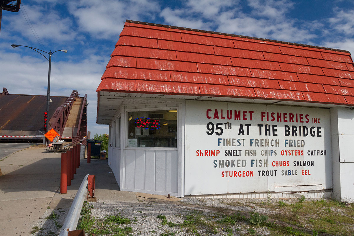
Drawbridges along the Calumet River allow tall watercraft to pass. On the river at 95th Street, the already popular Calumet Fisheries was visited by celebrity chef Anthony Bourdain in 2009.

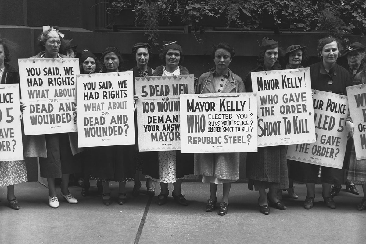
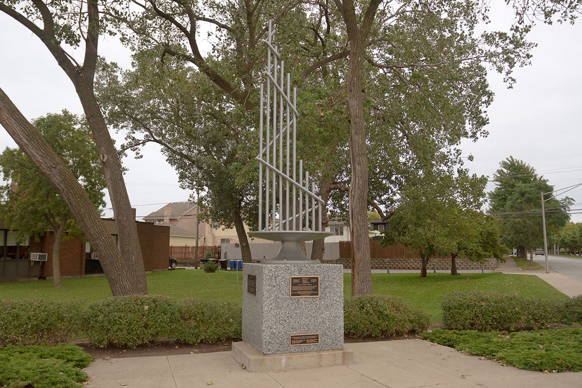
The 1930s saw violent clashes as steelworkers sought to organize. In the 1937 “Memorial Day Massacre,” police shot and killed ten demonstrators in a confrontation during the workers’ attempt picket at the Republic Steel plant. In 1942, the United Steelworkers of America was founded. Photo credit: Chicago History Museum/Chicago Daily News
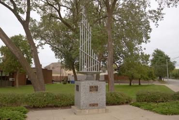
A monument to the fallen Memorial Day demonstrators stands at 117th Street and Avenue O, the former site of Sam’s Place – a restaurant where the strikers had assembled before marching to the fateful showdown at Republic Steel. Each steel tube represents a picketer who was killed.

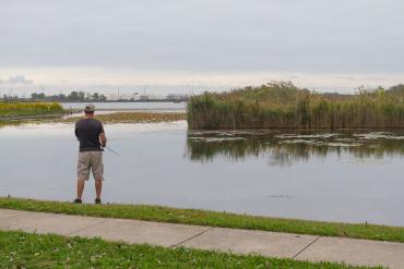
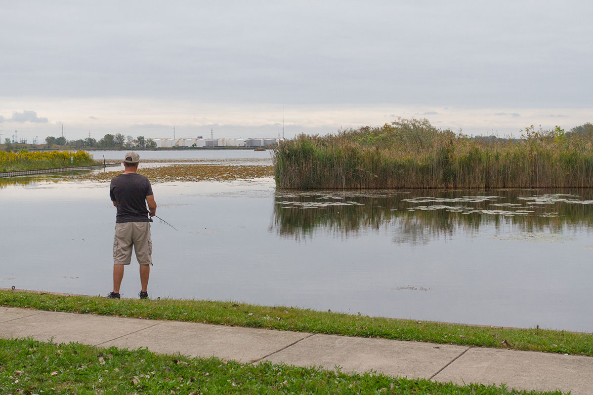
Wolf Lake, an 800-acre body of water straddling the Illinois/Indiana border, provides a valuable natural and recreational resource amidst the Southeast Side’s urban industrial landscape. The lake is home to all sorts of wildlife, including river otters, beavers, mute swans, and lake sturgeon.
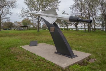
Two Nike missile sites near Wolf Lake were part of a now-decommissioned Cold War air defense system. Remnants of the sites can be found in the William West Powers Recreation Area and are commemorated by this marker near a picnic area.
