The Mystery:
Why is Chicago’s oldest monument so hard to find?


While the word monument may evoke images of grand structures visited by bustling crowds, Chicago’s oldest monument is a bit more subtle than that – and a lot more remote.
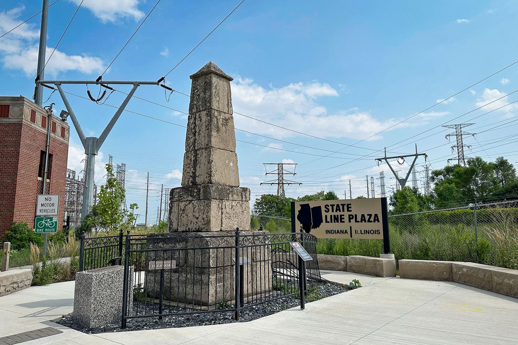
While the word monument may evoke images of grand structures visited by bustling crowds, Chicago’s oldest monument is a bit more subtle than that – and a lot more remote. Located south of Calumet Beach in an industrial area between train tracks and power lines, a 15-foot, stone obelisk marks the state boundary lines between Illinois and Indiana. In 1838, about 20 years after Illinois and Indiana acquired statehood, frontier surveyors built the obelisk to mark the boundary. “It was even more remote in the 1830s,” author Jessica Mlinaric told Geoffrey Baer. “Sometimes the shifting sand from Lake Michigan would even cover up the marker entirely.” As Mlinaric writes on her blog, surveying state boundaries was “necessary to sell land in the new states, and commemorative markers often noted the newly established boundary lines.” In 1988, the obelisk, which was starting to look a little shabby, was restored and moved 191 feet north of its original location but is still located on the state line. In 2002, the city dubbed the obelisk a Chicago landmark.


