The Mystery:
Why do diagonal streets cut through Chicago’s grid?
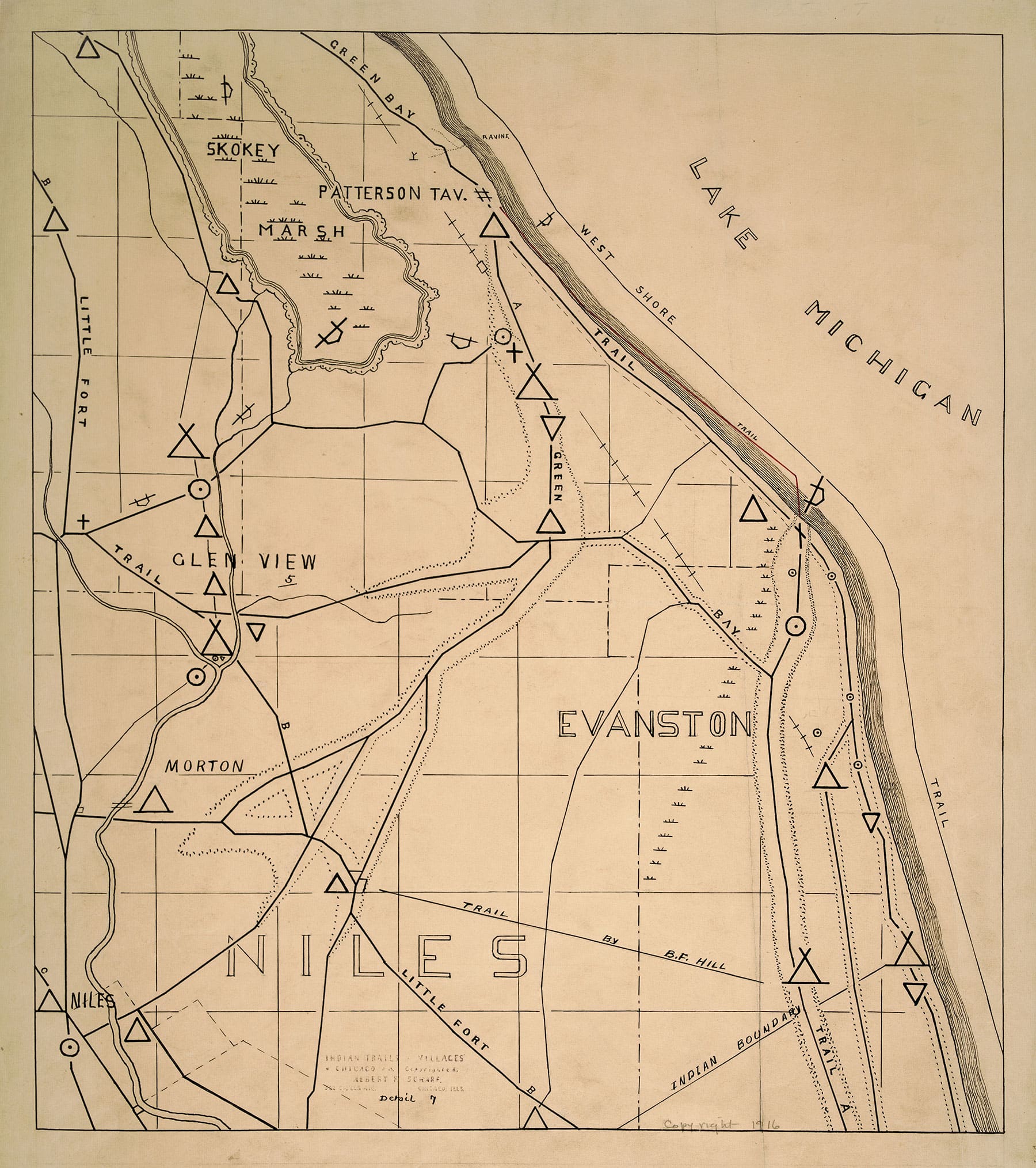
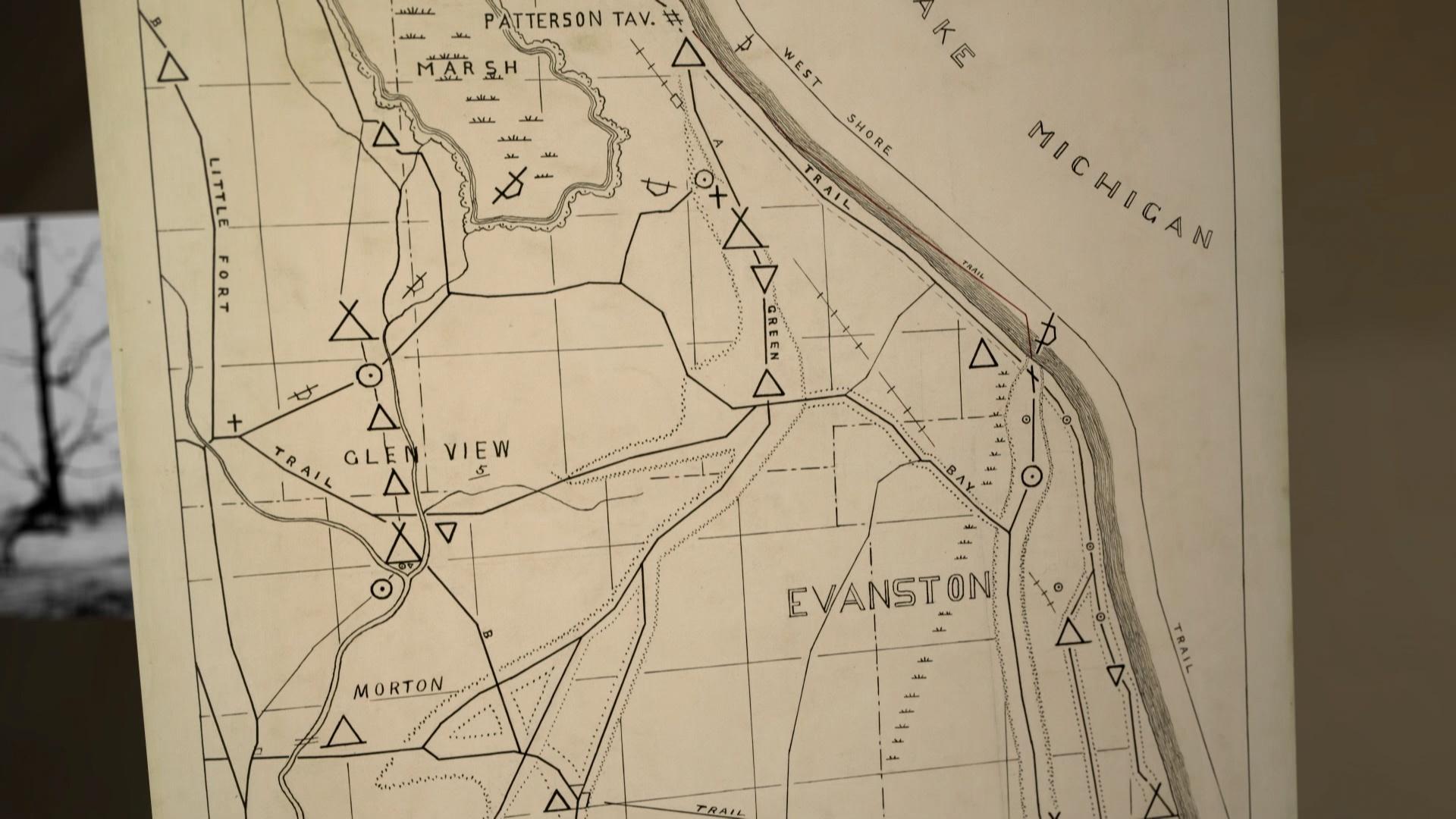
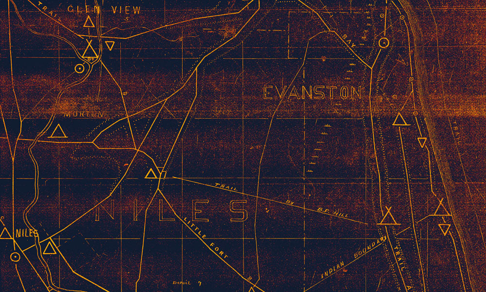
Indigenous nations such as Ojibwe, Odawa, Potawatomi, Miami, and others – as well as their roads – were here long before Chicago was incorporated.
In the northern suburb of Deerfield, there is a nearly two-hundred-year-old tree bent into the shape of an “s.” It was not the work of nature or some other mysterious force, but rather the work of Native Americans who bent and tied down trees as saplings and used them as road signs to mark their trials. Indigenous nations such as Ojibwe, Odawa, Potawatomi, Miami, and others – as well as their roads – were here long before Chicago was incorporated. Many of the city’s diagonal streets, including Milwaukee Avenue, Lincoln Avenue, Clark Street, Vincennes Avenue, and Ogden Avenue, that cut through Chicago’s right-angle grid were once part of an expansive network of Native American trails and trade routes. “The way the city has found to be most productive or efficient is to [orient itself] along these trails,” Starla Thompson, an Indigenous educator and scholar, told Geoffrey Baer. “Chicago has always been an important place. Indigenous people knew that…The trails that we traveled upon got us through the state to the Mississippi [River]. It was all part of why Chicago was great and always has been.”